Worlds End: Loyalsock Creek Octopus
24.8 miles | 2,415’ | 87% unpaved
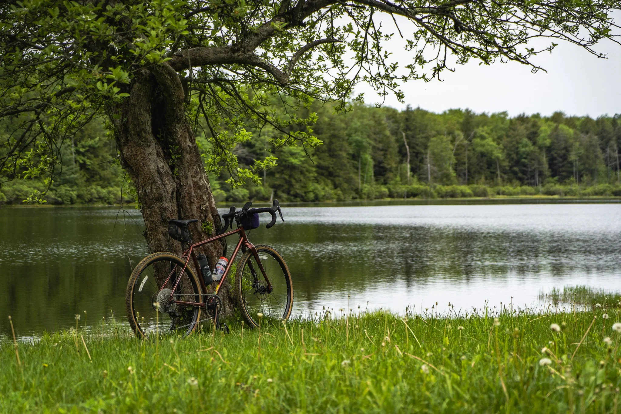
Sample the legendary Worlds End State Park roads on this challenging ride through Loyalsock State Forest, with smooth gravel, towering trees, Sones Pond, and the iron bridge.
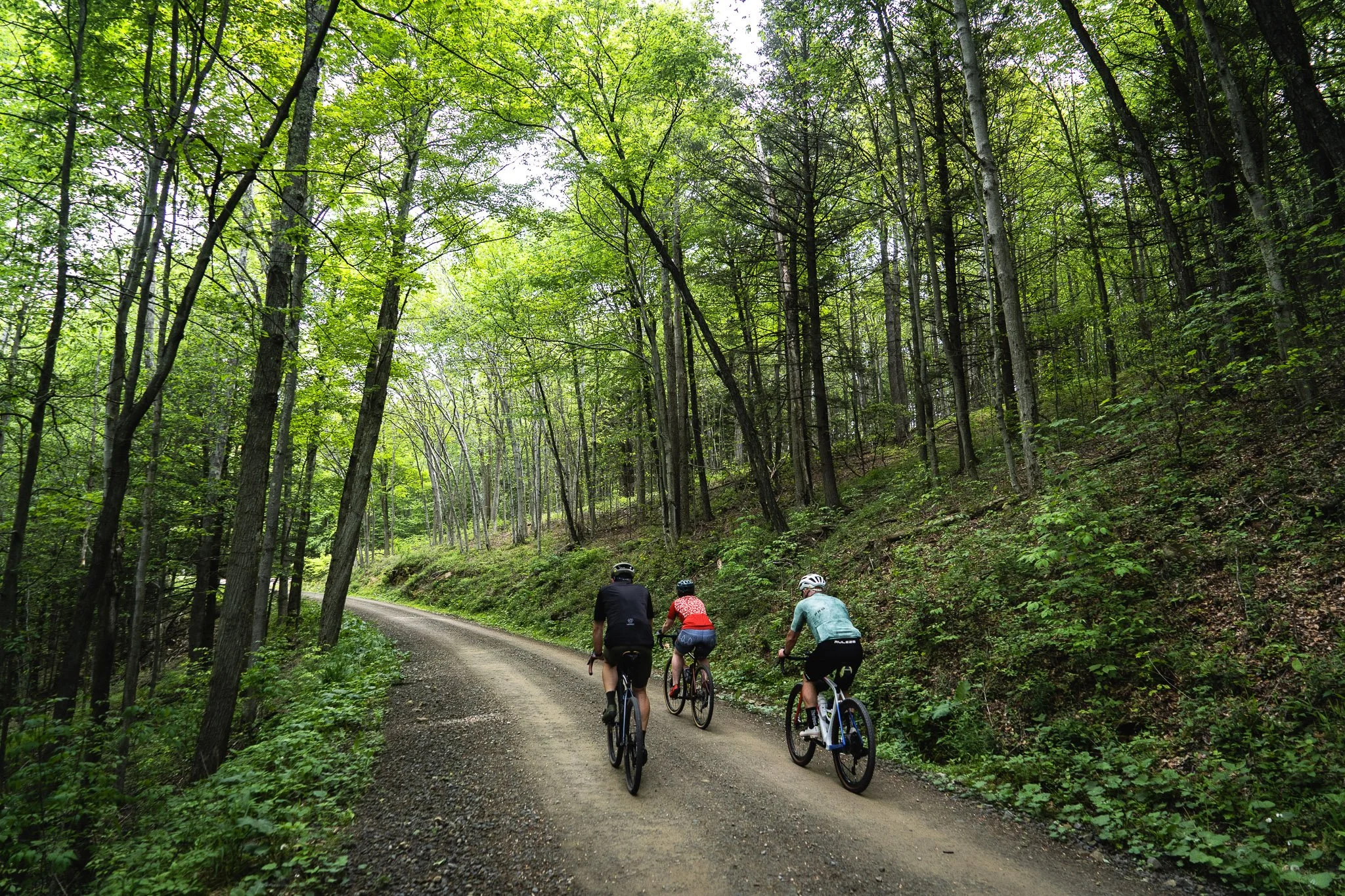
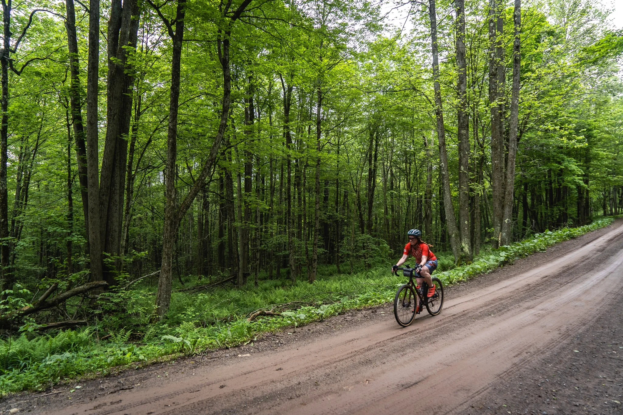
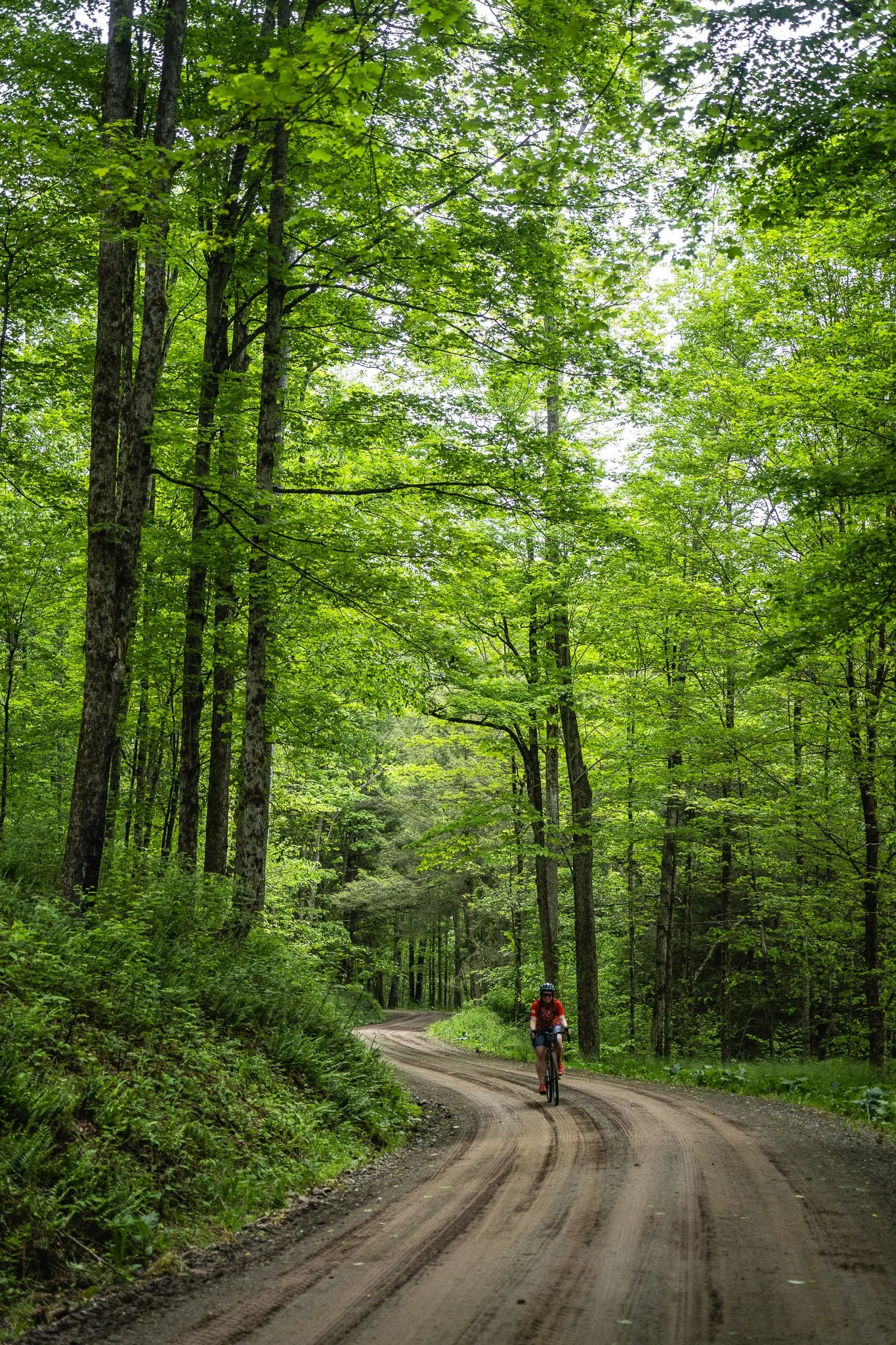
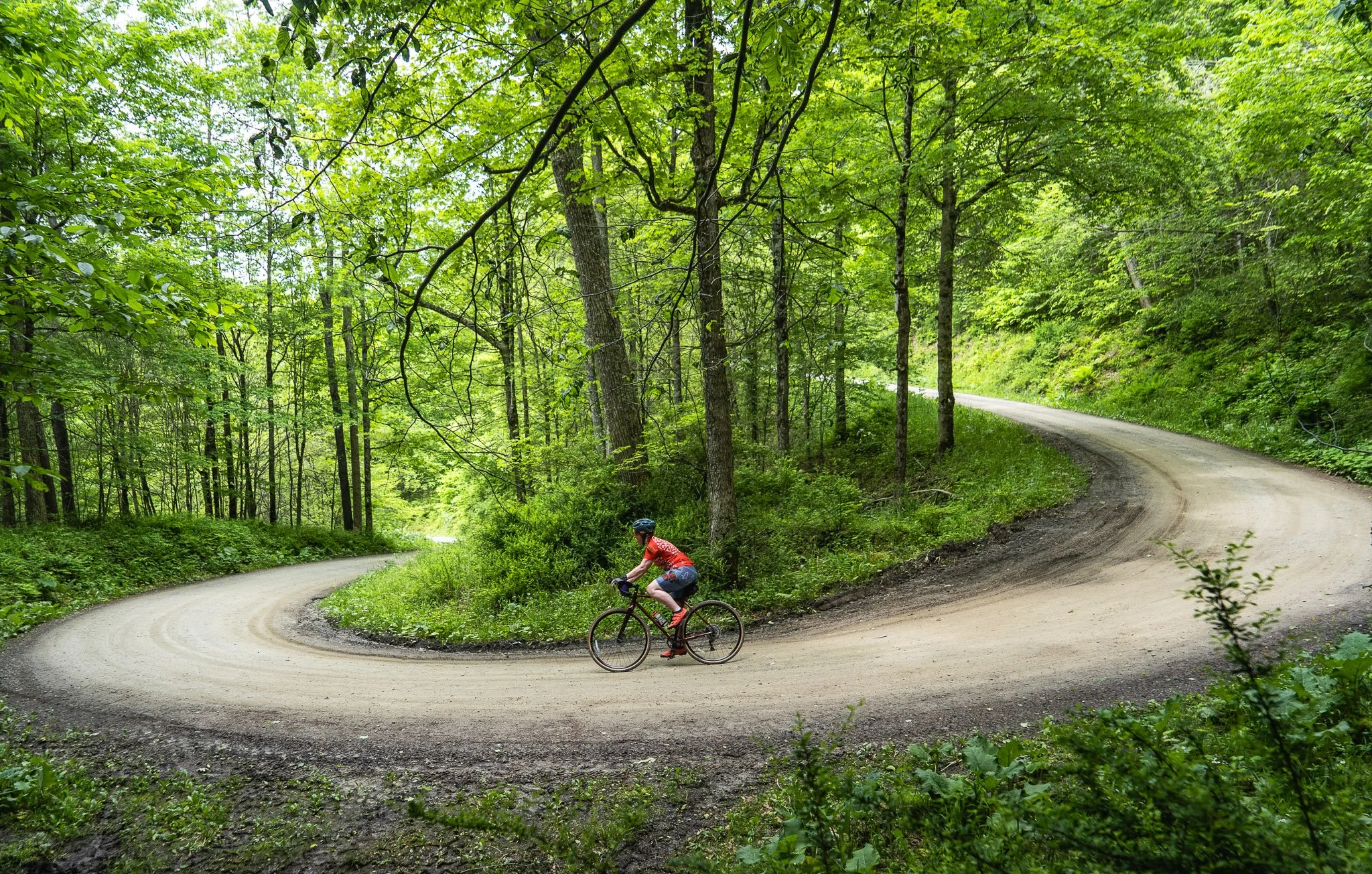
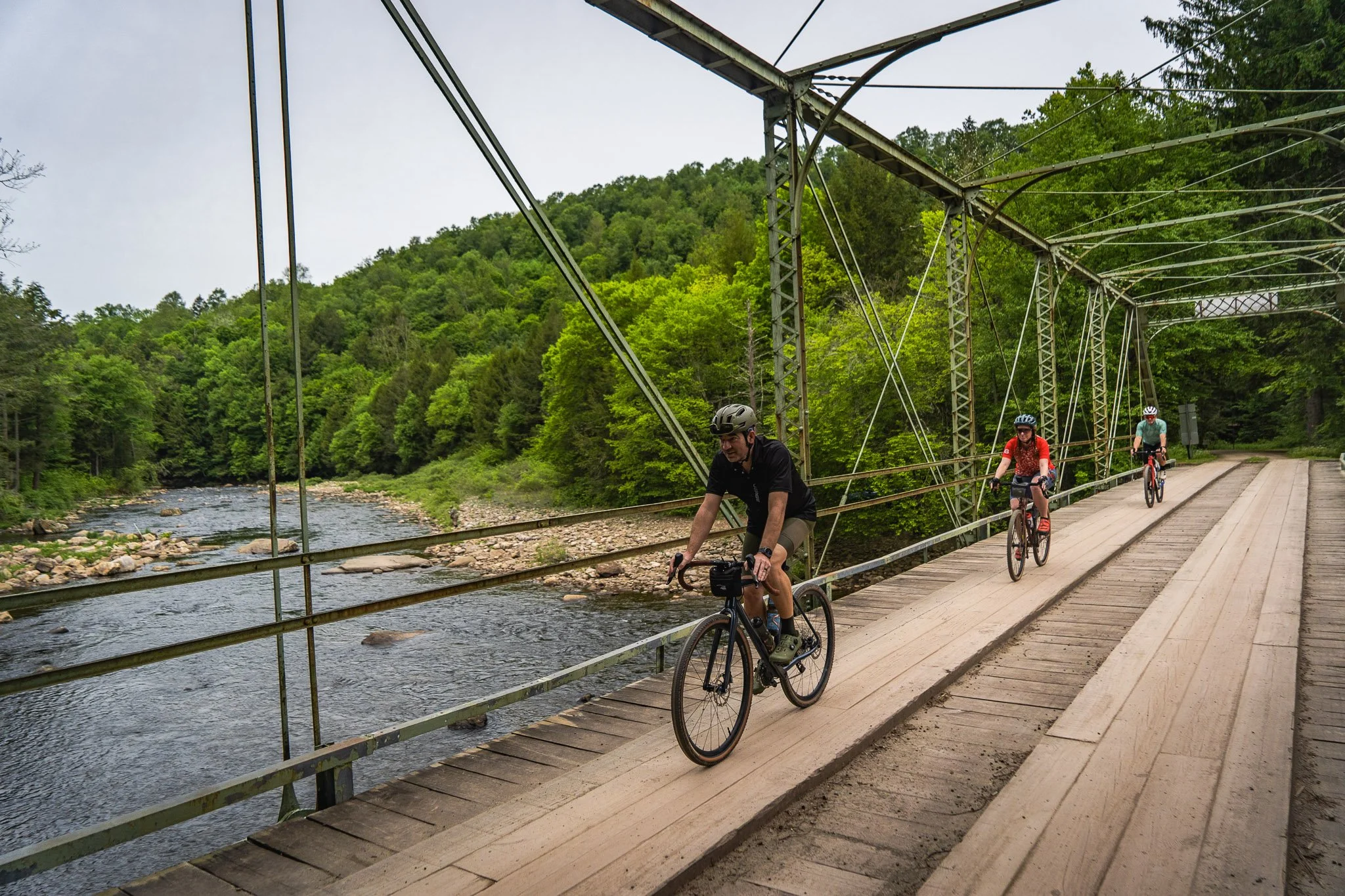
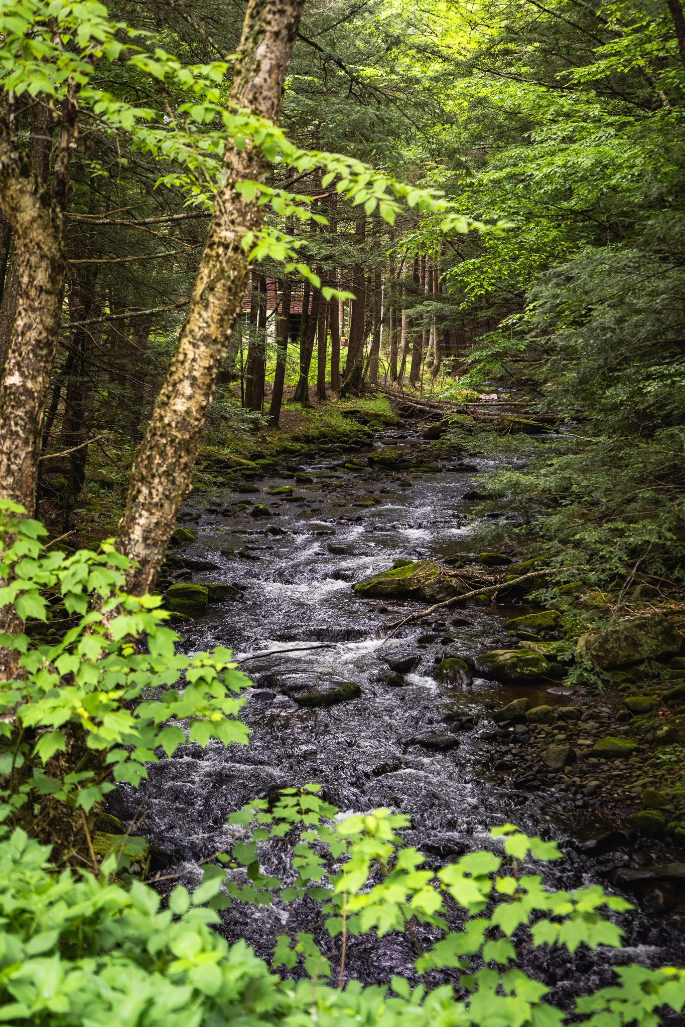
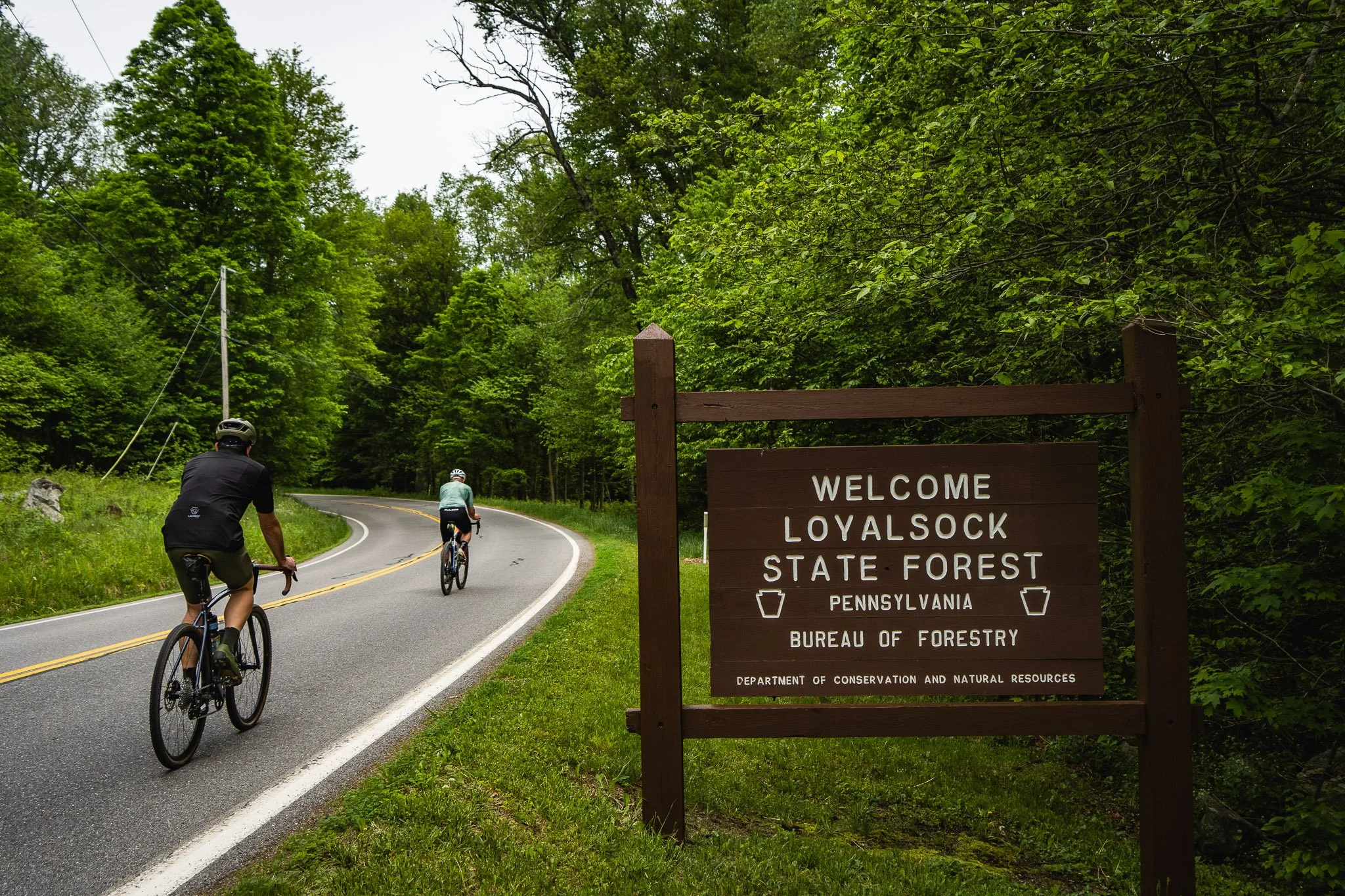
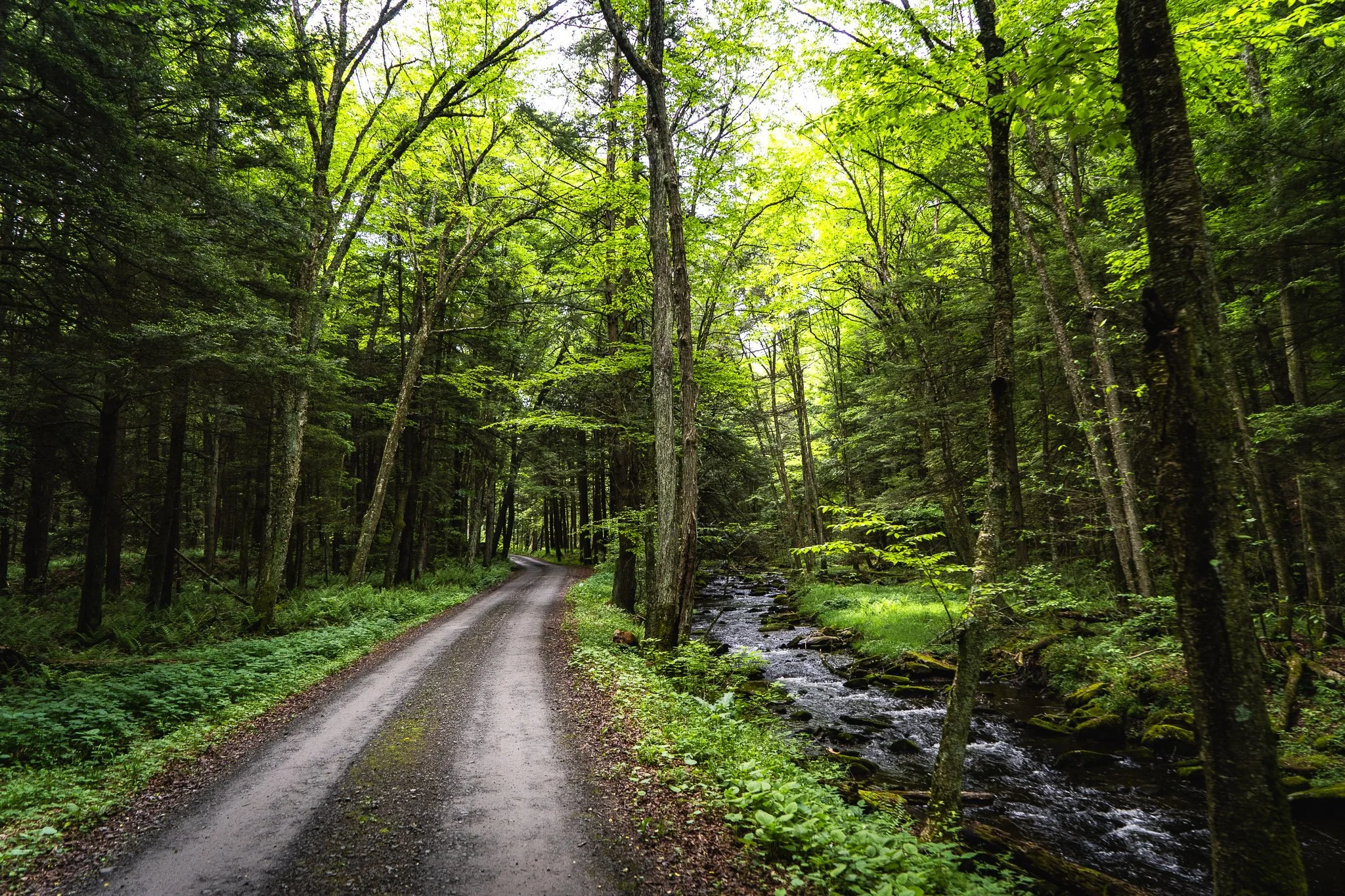
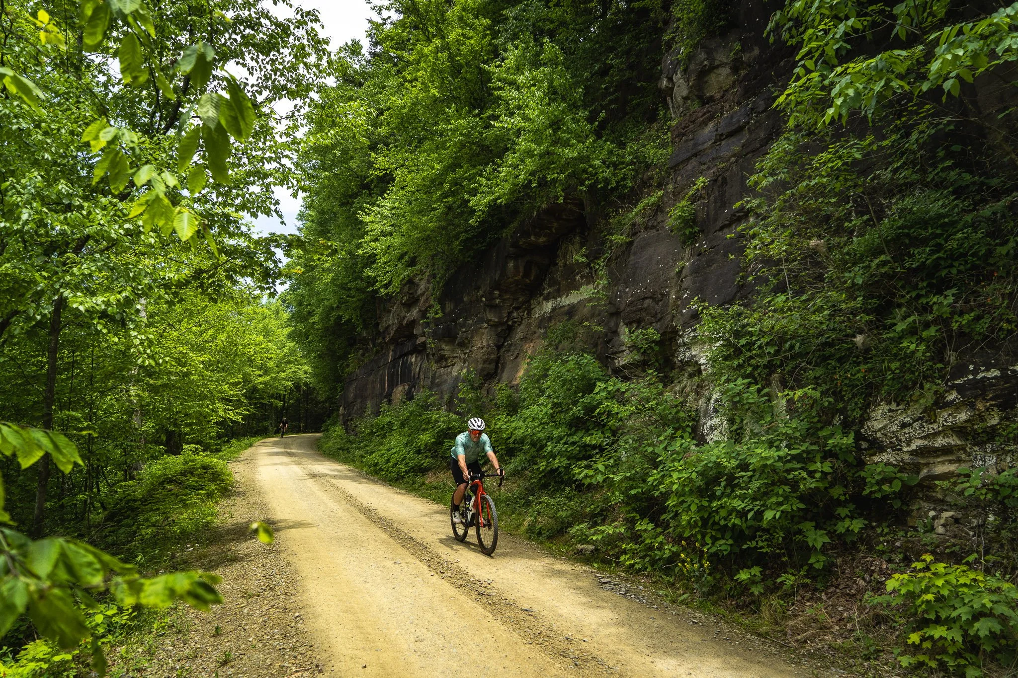
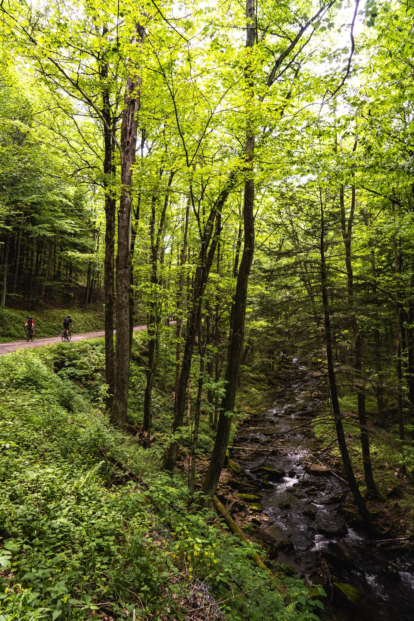
Get a taste of the longer bikepacking routes along the short loop out of Worlds End State Park. Cyclists begin the route by climbing over 700’ in under 2 miles, which may be manageable at the beginning of the ride on an unloaded bike. Now, imagine doing it with a fully loaded bikepacking rig, having already ridden 128 miles! Nearly 90% of the route rolls on silky smooth gravel roads through the state park and adjacent Loyalsock State Forest, sheltered from the sun by the forest canopy.
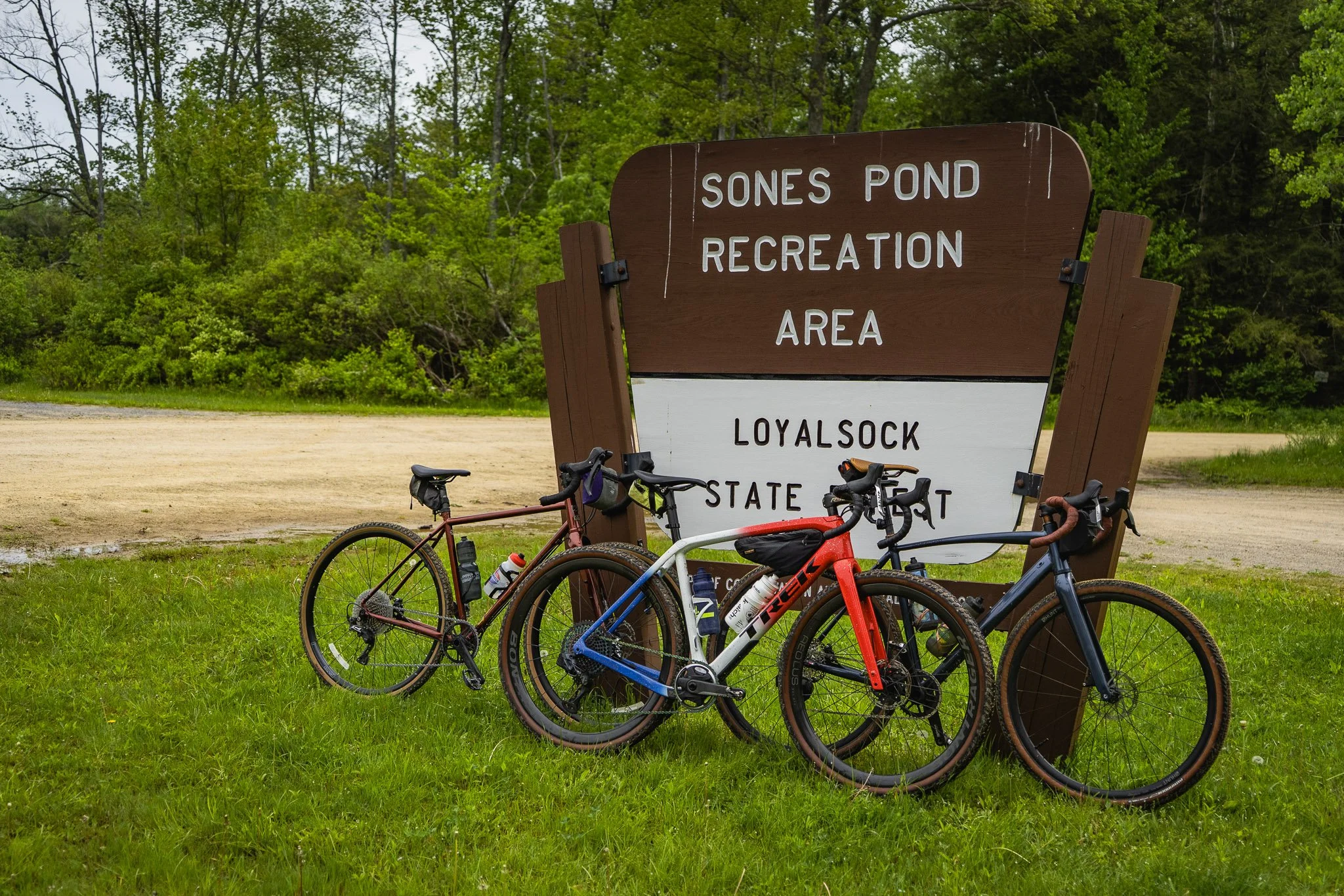
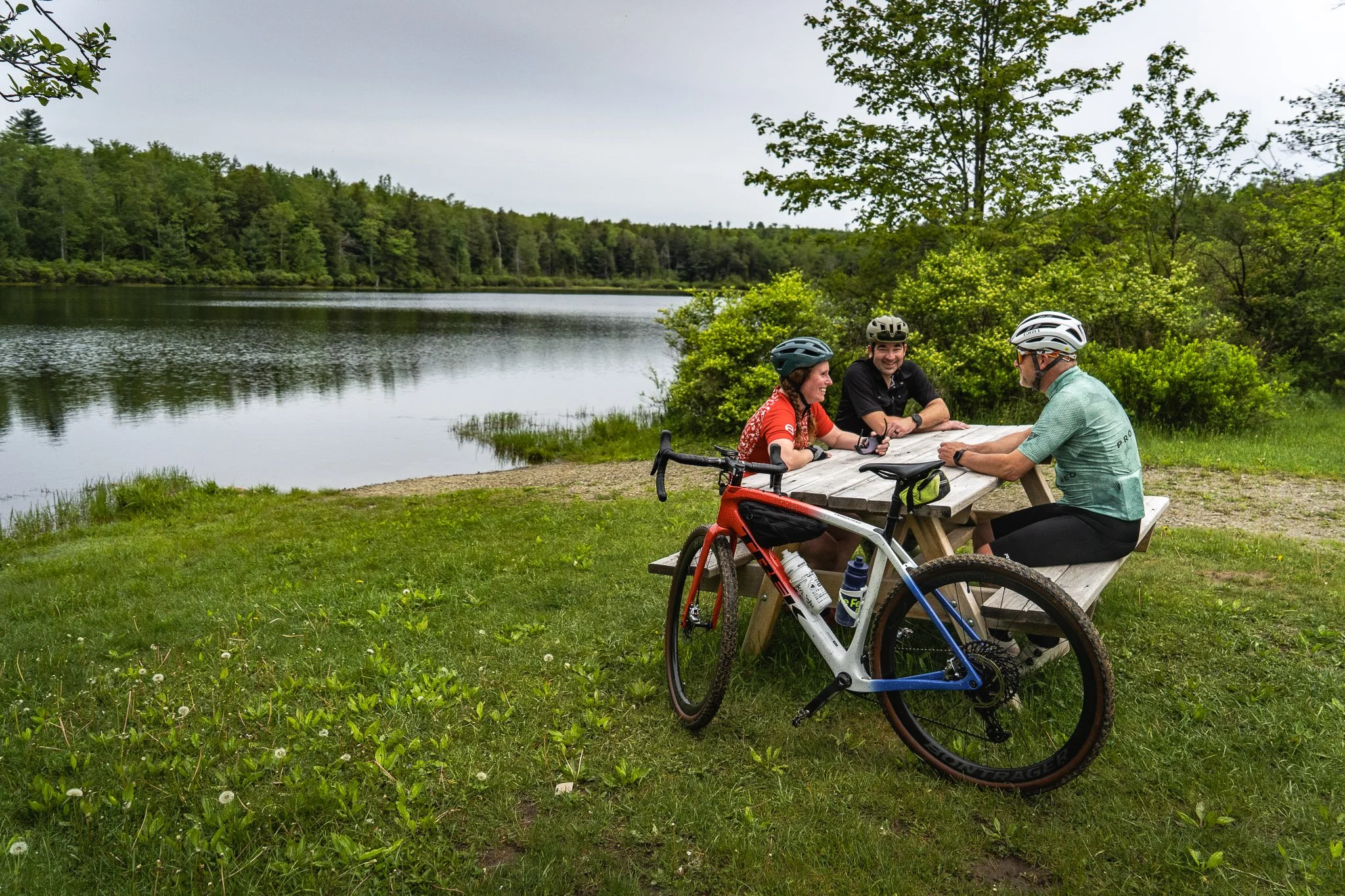
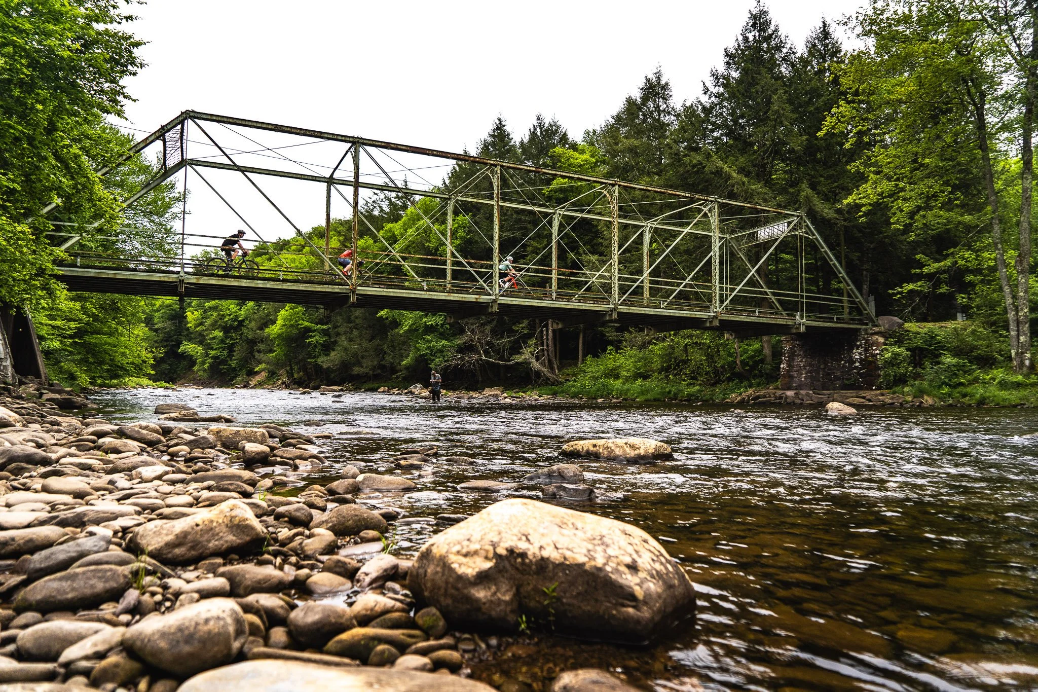
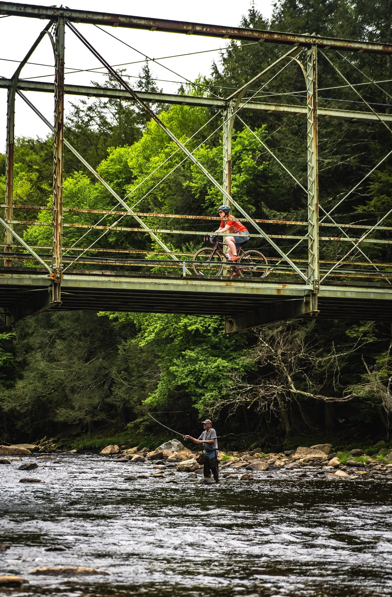
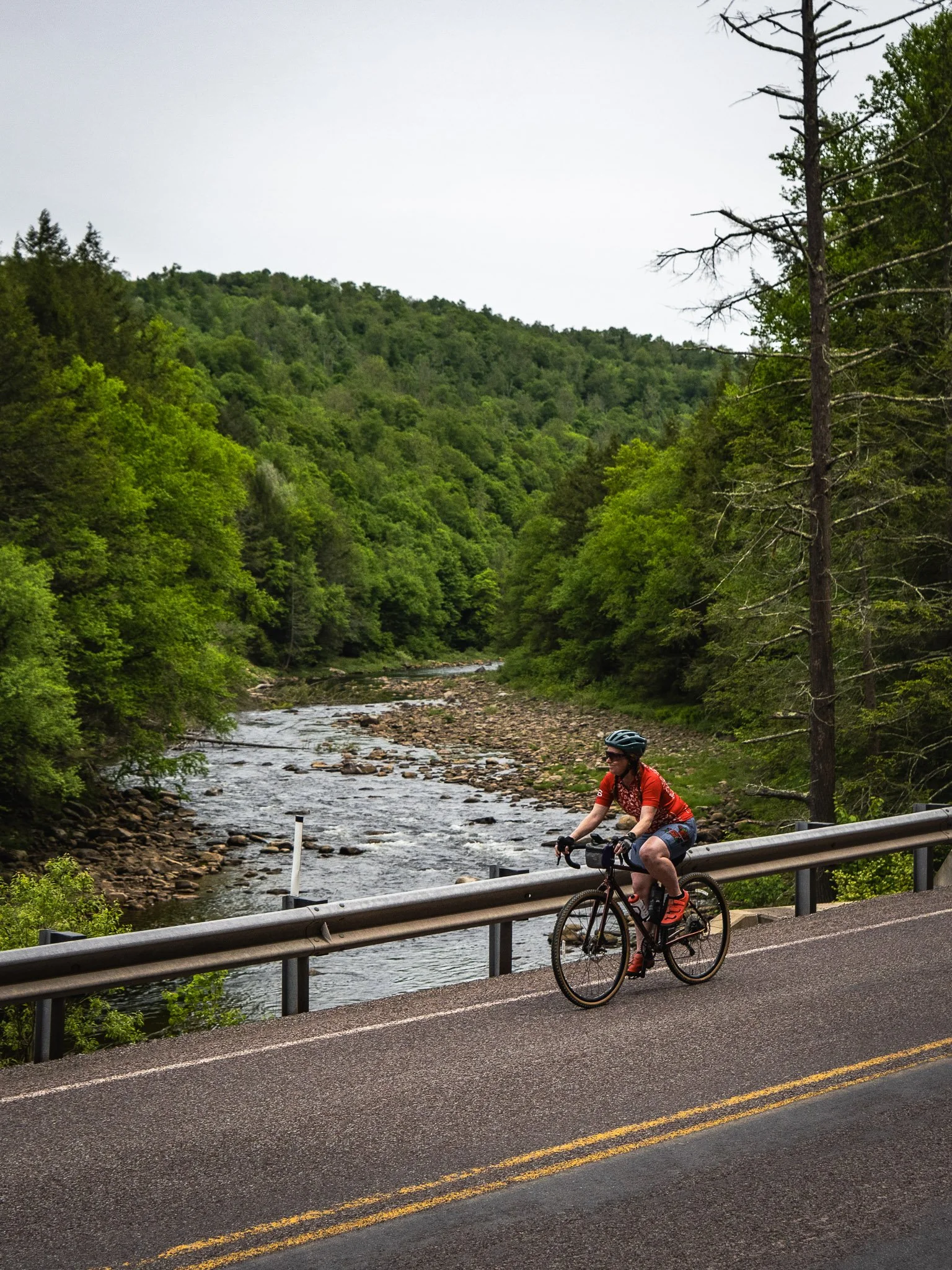
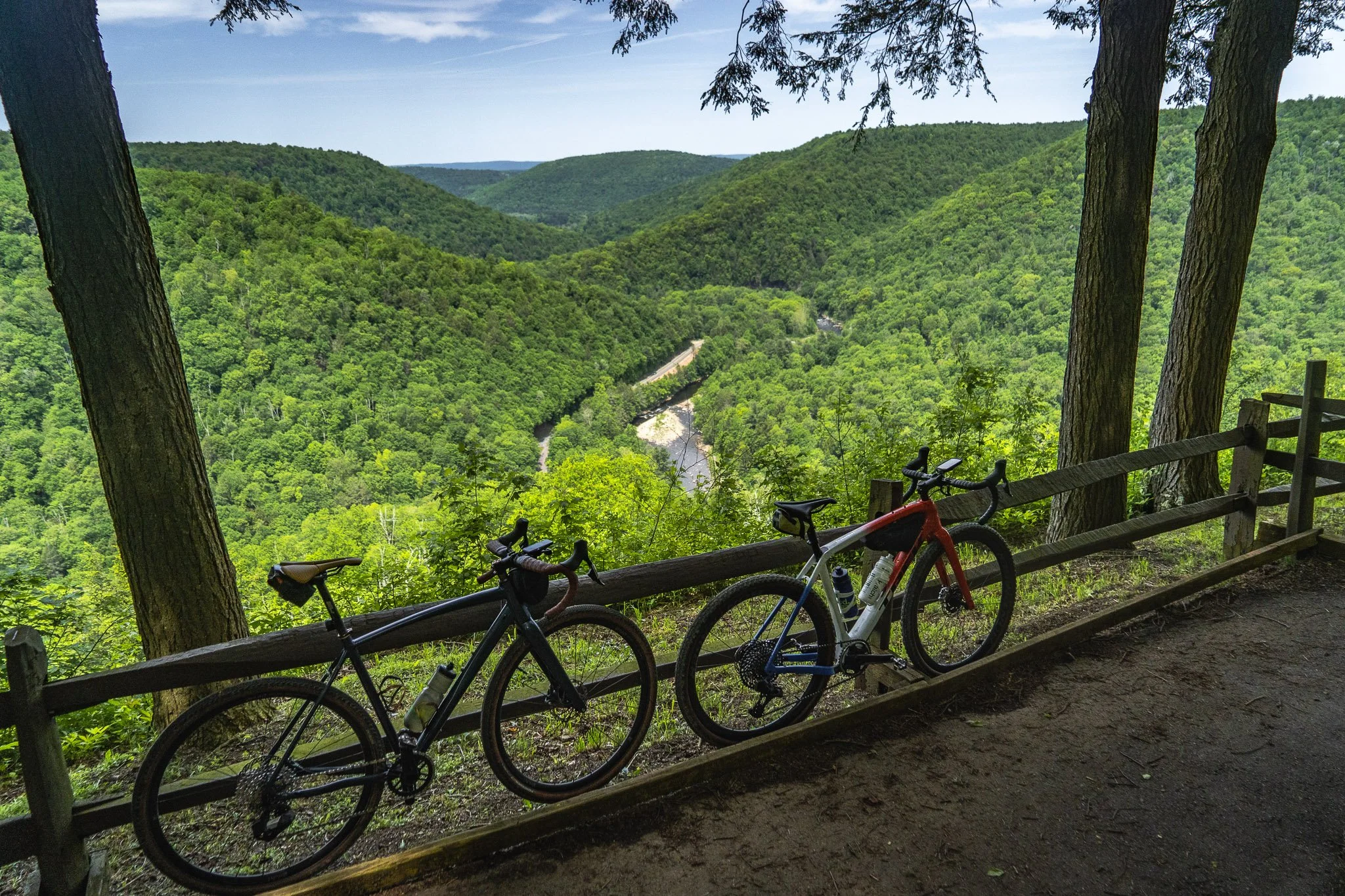
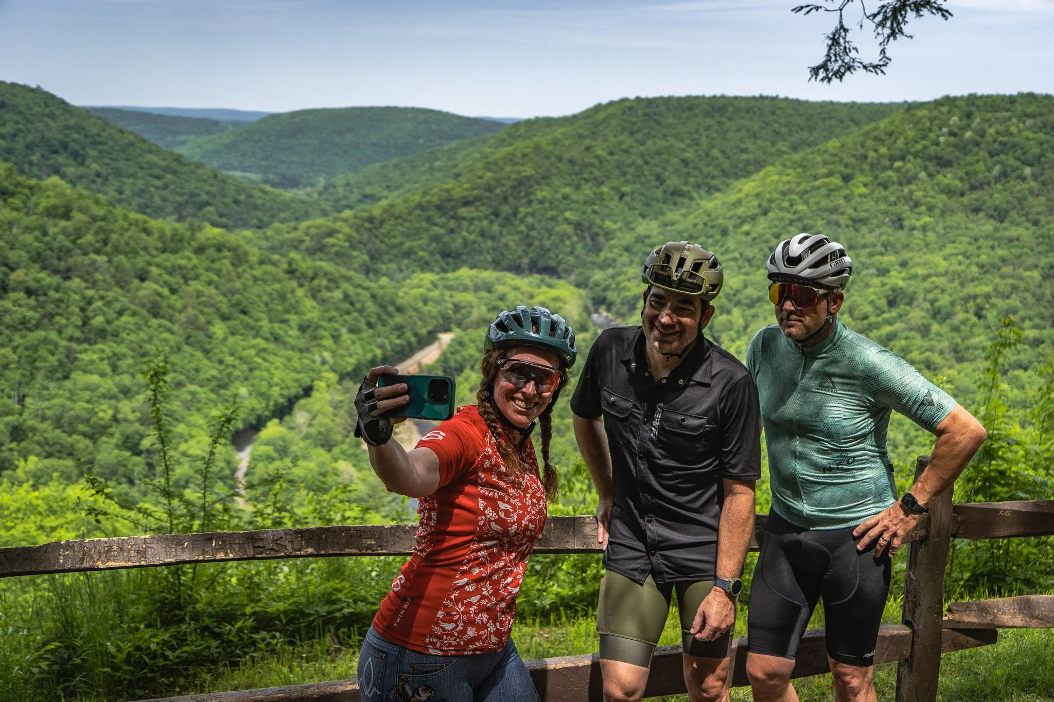
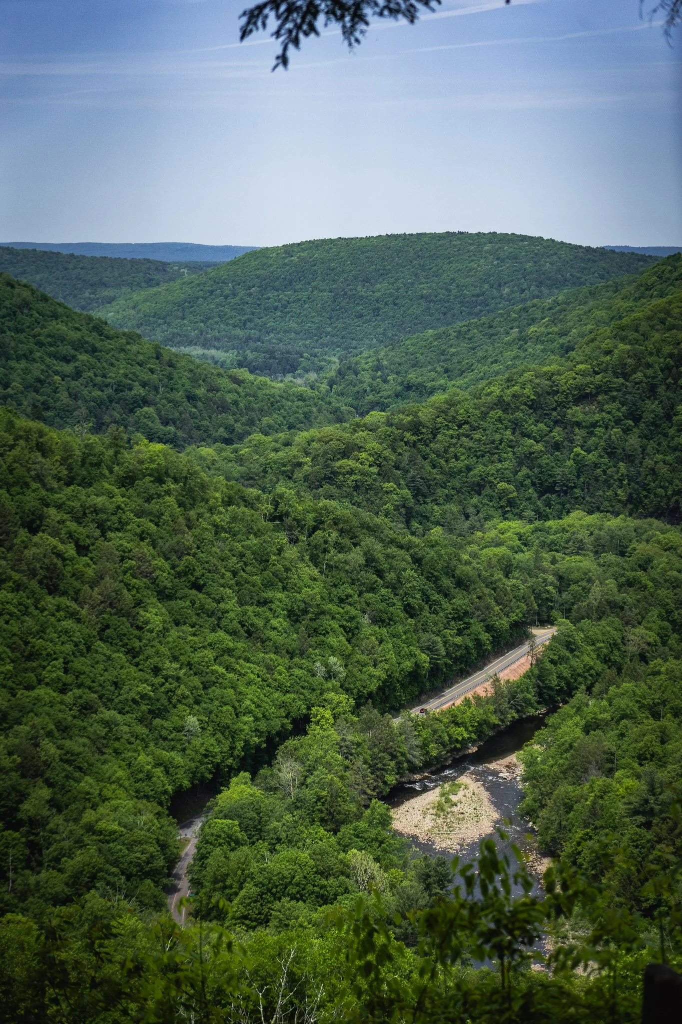
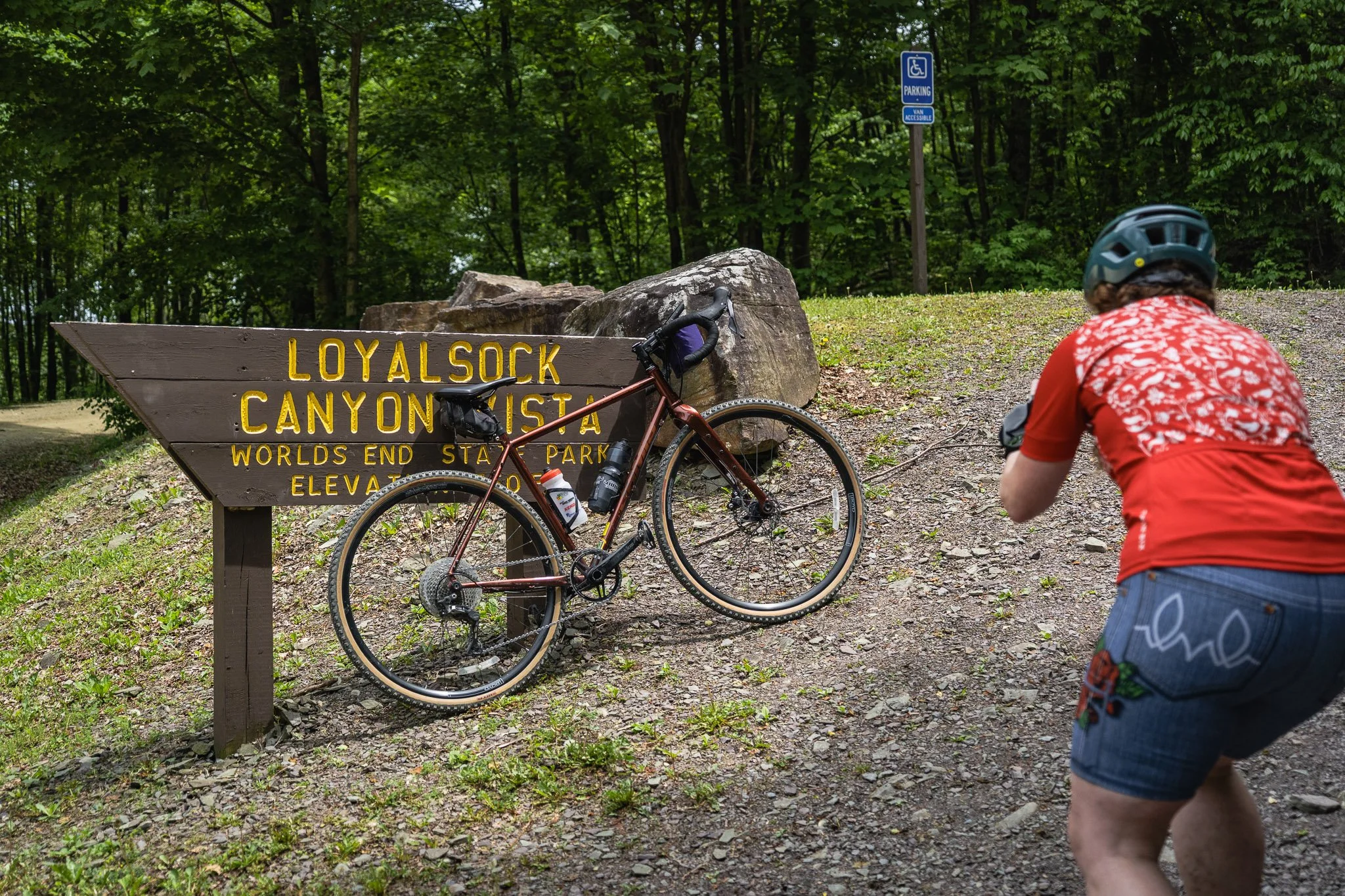
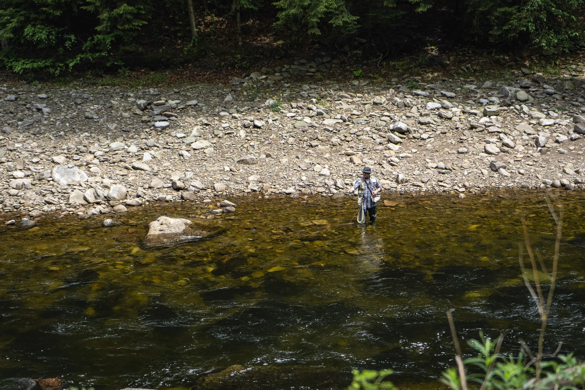
Enjoy a mid-ride break at picturesque Sones Pond, or along the banks of Loyalsock Creek, where fly fishermen wade out under the historic Rock Run Road iron bridge. On the back half of the route, riders will pass several dispersed campsites dotting Shanerburg Road before stopping to take in the famous Loyalsock Canyon Vista. This canyon is often the highlight for cyclists tackling the entire bikepacking loop. Once you have your fill of the view, a rippin’ descent awaits to cap off the experience.
Worlds End State Park came into being in 1929, when the former Department of Forests and Waters purchased the devastated land—left barren after decades of logging—to create a state forest park. A budget of just $50 was allocated to furnish the new park, enough for little more than four picnic tables. During the 1930s, the Civilian Conservation Corps (CCC) constructed many of the facilities still enjoyed today, including the swimming area and dam, cabins, pavilions, hiking trails, and roads. The park's name has equally colorful origins. It is widely believed to refer to the dramatic topography, where seven mountain ridges converge, giving early settlers the impression they had reached the ends of the earth. Others argued the park should be named "Whirls End" after a large whirlpool in Loyalsock Creek, and the park officially carried that name from 1936 to 1943 before Worlds End was restored following a spirited public campaign.
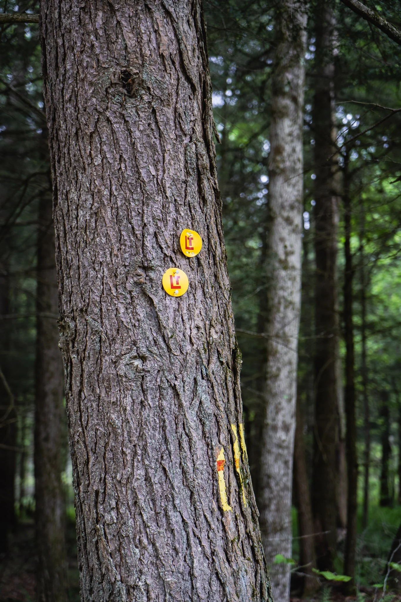
At several points along the route, riders will see interesting red and yellow trail blaze markings where the Loyalsock Trail intersects with the road. The trail, closed to bikes, follows mountain ridges and streams through the Loyalsock Creek watershed as it travels through the woods on footpaths, old logging roads, and abandoned railroad grade. Originally designed in 1951 as a 30-mile trail, both ends were extended in the early ‘60s, making the trail 59.71 miles long.